Location Search for Educational Buildings

Many upcoming daycare and school building projects in Frankfurt am Main are faced with a very limited supply of sites. The high requirements for school locations in terms of surrounding, accessibility and size are hardly met by the few existing properties. Against this background, a structured process for the search of suitable land was developed.

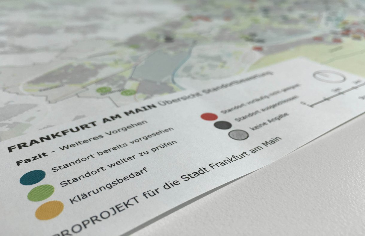
As a first step, the development of a land cadaster created a tool for collecting, categorizing and assessing potential areas. Subsequently, a project organization as well as processes for the handling of site issues were defined in collaboration with the involved city departments and specialized units. In addition to providing an overview of land potentials related to educational buildings, the goal was to identify bottlenecks and to develop procedures for a structured decision-making process when reserving suitable plots. The collected information regarding usability or restrictions of planning regulations, easements, flight noise zones, SEVESO guidelines, construction law, accessibility and contaminations was integrated directly into the internal geo-information system of the City of Frankfurt. This enables an urban-spatial orientation for each evaluated location and ensures a long-term usability of the tools developed. At the same time, specifications for technical and educational requirements were defined, which led to a definition of space and time demands for new schools according to the Integrated Education Development Plan. By superimposing the requirements with the ascertained location information, school-specific ‘search areas’ were defined and visualized using overview maps.

The development of the database, the process support and the evaluation of the results were carried out by PROPROJEKT in close cooperation with the city department for education.
Services
- Development of a land cadaster
- Implementation of an organizational structure
- Management of the project organization
- Development of a query process
- Evaluation of results
- Visualization of overview maps
- Organizing and carrying out of negotiation meetings

